Hurricane Milton Intensifies: Florida Braces for Impact with Severe Weather Forecast
Hurricane Milton Intensifies: Florida Braces for Impact
The monstrous storm known as Hurricane Milton has intensified to a Category 5 hurricane, becoming one of the most formidable meteorological events of the season. Meteorologists are tracking its alarming path as it heads towards Florida, threatening catastrophic consequences. With maximum sustained winds howling at a staggering 180 mph and gusts occasionally roaring past 200 mph, Milton has all the makings of a natural disaster that could etch its name into the annals of history as one of the most powerful storms to ever strike the region.
Forecasts paint a grim picture. By Wednesday, Hurricane Milton is expected to make landfall on Florida's western coast, and the National Hurricane Center (NHC) warns that conditions will only escalate as it approaches. As of Monday, the storm's center was stationed near latitude 21.8 North and longitude 90.8 West, edging its way eastward at a pace of 10 mph. Meteorologists predict that it will veer close to or just north of Mexico's Yucatan Peninsula overnight and into Tuesday. Following that precarious path, Milton is projected to traverse the eastern Gulf of Mexico before its menacing approach to Florida, poised threateningly over the Gulf waters.
Warnings and Preparations Underway
The magnitude of Hurricane Milton's imminent threat has not gone unnoticed. Officials have issued a hurricane warning for portions of the Yucatan state, while the lion's share of Florida's west coast finds itself under both hurricane and storm surge watches. Florida Governor Ron DeSantis has been proactive, urgently pleading with residents to take heed of evacuation orders and ready themselves for what could be a large-scale evacuation effort. He emphasizes that Milton is evolving into a storm that exceeds prior forecasts in strength and potential destruction.
The NHC has delivered a stark prediction: rainfall amounts ranging from 5 to 10 inches are expected to drench the Florida Peninsula through Thursday, with localized downpours potentially reaching up to 15 inches. Such volumes of precipitation are ripe for catastrophic flash flooding, urban inundation, and extensive river overflow. Hurricane-force winds stretch outward up to 30 miles from the storm's epicenter, and the tumultuous tropical-storm-force winds span outwards up to 80 miles. The Gulf Coast braces for storm surges predicted to span a daunting 8 to 12 feet in some areas, which markedly raises the stakes for coastal inhabitants.
Local Governments Spring into Action
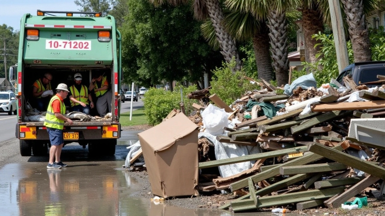
Local authorities from various Florida cities are not taking any chances with Hurricane Milton. Jacksonville Mayor Donna Deegan has announced a pre-emptive local state of emergency, effective from Tuesday morning. The city is shuttering offices and schools from Wednesday to Friday to minimize potential dangers. Furthermore, the Jacksonville Electric Authority (JEA) cautions residents that storm damage could extend power restoration times substantially.
With the City of Jacksonville laying down these measures, residents have been strongly advised by the Mayor to stay indoors, particularly on Wednesday, due to flooding and storm surge threats. The region's saturated soil and soaring river levels spell an added risk of 2 to 4 feet of flooding in susceptible areas. Meanwhile, Duval County has been placed under a Hurricane Watch, anticipating tropical storm force winds oscillating between 40 and 50 mph and gusts climbing to 60 or 70 mph.
Preparing for Evacuations and Power Outages
Hurricane Milton's daunting approach has instigated the formulation of evacuation plans across vulnerable Florida regions. Residents are being urged assertively to not dismiss official evacuation directives given the dire risks posed by the hurricane's path. These extensive preparations underscore the gravity of the situation, emphasizing that the staunch force of the hurricane coupled with tumultuous environmental conditions presages a challenging recovery ahead.
Another pressing concern is the anticipated power outages, likely to be more prolonged than usual due to the storm's expansive reach. The stress upon utility workers is anticipated to rise significantly, tasked with navigating hazardous conditions to restore normalcy. Persistent communication from local governments echoes this sentiment, continually reminding the populace to prepare for interruptions to essential services and ensure that safety remains their paramount consideration.
As the storm churns over the Gulf towards Florida, the collective response underscores a community thrust together in preparedness and shared resolve. While natural phenomena like Hurricane Milton are incontrovertibly perilous, it is the combined spirit of resilience and precaution that will, as always, play a crucial role in weathering the unfolding storm.
Stay safe everyone we got this together
I see the community rallying and it’s amazing. People are shareing resources and checking in on older neighbors. The evacuation routes are clearly signaled and the shelters are open 24/7. Remember to pack the essentials like water, meds, and a flashlight. Stay calm and support each other, we will get through this.
They don’t want you to know the truth about Milton’s origin. The satellite data is being tampered with, every image a layer of deception. Power grids will be crippled not just by wind but by a coordinated EMP strike hidden in the storm’s eye. Emergency alerts are a distraction, a way to herd the population into predetermined shelters that are actually staging grounds. The Gulf’s waters are being seeded with nanotech particles that will amplify the flooding. This is not a natural event; it’s a weaponized climate experiment. The government’s emergency funds are being rerouted to private contractors who profit from the chaos. Media outlets are synchronized, repeating the same script to keep the narrative uniform. Social media bots are flooding feeds with soothing messages while the real danger is being concealed. Even the hurricane name, Milton, is a code name for a covert operation. Meteorologists are in on it, feeding false wind speeds to mislead evacuation zones. The storm surge forecasts are understated, designed to lure people into low‑lying areas. Evacuation orders are a ploy to test crowd control protocols. I’ve seen the hidden files, the encrypted communications that tie the storm to a shadowy consortium. Remember, the bigger the disaster, the bigger the payout for those pulling the strings. Stay vigilant, question every official statement, and protect your family at all costs.
From a risk assessment perspective the extratropical transition potential is non‑trivial the integrated kinetic energy budget indicates exceedance probabilities surpassing 95th percentile thresholds the infrastructural resilience index is currently below acceptable limits especially for coastal power substations and critical water treatment facilities memo: prioritize load shedding protocols and deploy mobile micro‑grids to mitigate post‑event service disruption compliance with FEMA Tier III mitigation standards is advisable
The projected rainfall totals suggest a significant risk of flash flooding, especially in urban areas with poor drainage. Residents should secure valuable items and ensure that sump pumps are functioning correctly. It is also prudent to keep a battery‑operated radio handy for official updates. Local authorities will likely issue further advisories as the situation develops.